AREA COVERED - Fenland waterways between Morton's Leam to the west, to the Old Bedford River in the east, and from Salters Lode Lock in the north to Ramsey in the south.
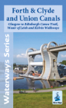
CONTENT - Description of the waterways, recommended routes plus other navigable waterways with maps. The Fens past, present & future again with maps. List of further reading and useful telephone numbers. Distances and dimensions. Folding map of overall area covered attached to rear cover.
DETAILS - Soft back. Spiral bound. Size 15.9cms x 23.5cms approx. Map 43.5cms x 62.5cms when opened out. 56 pages. 2020 edition.