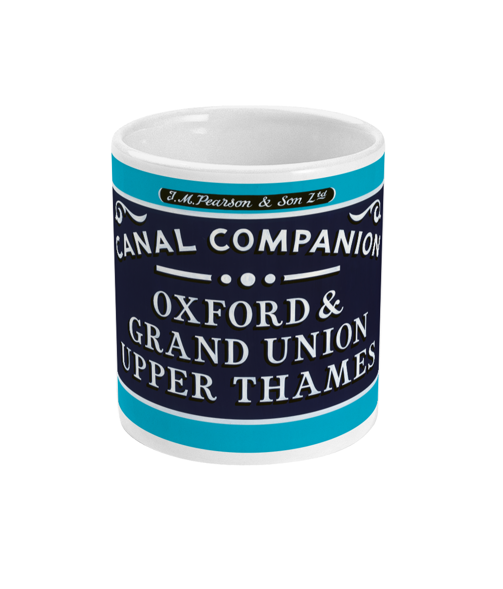
AREA COVERED - Side 1 - Oxford Canal (Oxford to Calthorpe) and River Thames (Folly Bridge to Duke's Cut). Side 2 - Oxford Canal (Calthorpe to Hawkesbury Junction) and Coventry Canal (Hawkesbury Junction to Coventry Basin).
CONTENT - Brief history and places of interest, colour pictures, boat yards and facilities, hire bases, maximum recommended craft dimensions. Enlarged maps of Braunston, Cropredy, Banbury & Oxford.
DETAILS - Scale 1:50,000 (approx 2cms to 1km or 1¼" to 1 mile) and 1:12,500 for town plans. Size 14.1cms x 22cms folded, 44cms x 84cms approx when opened out. 2nd edition, 2016.